


East Coast Braces for Severe Weather Threat
Millions across the East face the potential of destructive winds, sizable hail, and tornado risks over the weekend.
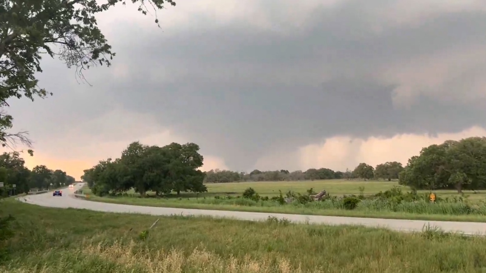
A persistent stretch of severe weather alongside potential flash floods is progressing eastward, impacting regions in the central and eastern United States.
Main concerns in these areas include strong wind gusts and large hail, with an isolated risk of tornadoes from northern Virginia to New Hampshire. Flash flooding remains a significant threat.
Starting after early afternoon on the East Coast, storms will span from the Carolinas to New York, strengthening as they move eastward. These conditions may bring high winds, substantial hail, and isolated tornado occurrences.
Despite severe weather easing around midnight, the risk of flash floods will persist overnight, especially with intense downpours.
The storm pattern, an 'omega block,' interacts with high pressure systems, creating stark weather changes over large areas, notably this weekend.
Between Sunday and Tuesday, portions of the Northeast could experience heavy showers, potentially causing isolated flash floods.
Severe Weather and Flash Flood Potential
A western storm system will advance into central U.S. by Monday, drawing in Gulf moisture and heightening severe weather risks.
On Monday, central Texas, including cities like Fort Stockton and Midland, faces threats of large hail, powerful wind gusts, and flash floods.
As afternoon progresses, initial isolated storms will develop into larger groups in the evening.
By Tuesday, this weather system will continue eastward, intensifying the flash flood threat across the Deep South.
The most severe flash flooding Tuesday is expected in areas such as eastern Texas and northern Louisiana, including Shreveport.
Already-sodden regions from previous rainfall are susceptible to further flash flooding early next week.
Rainfall from ongoing storms feeds into the Mississippi River, potentially causing rivers to rise and lead to flooding in the Lower Mississippi Valley.
Leave a Reply